
Bakersfield to Mojave
The Tehachapi crossing on its own: SR-58 east from Bakersfield, up the canyon past the Loop, over the 3,793 foot summit, and down to the SR-14 junction at Mojave. The Antelope Valley commute, the wind farm run, and half of every Grapevine detour.
Tehachapi Pass is open. It is 50 degrees at Tehachapi Pass. 1 lane closure is active on the corridor, listed below.
Last updated at: 1:47 AM Pacific · Caltrans
Cameras along this drive
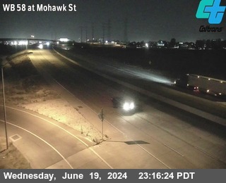 LIVE
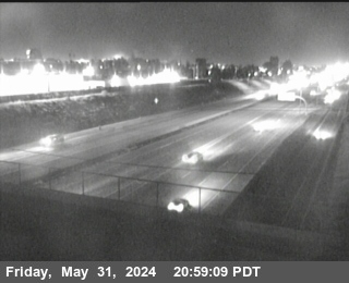 LIVE
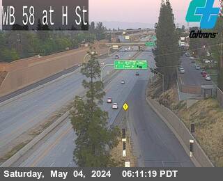 LIVE
 LIVE
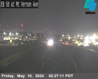 LIVE
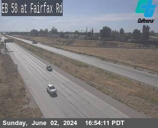 LIVE
The drive, segment by segment
1. Bakersfield to the foot of the climb
The freeway crosses town and the cameras thin out until only Towerline Road at Edison remains, the last frame before the mountain. Everything east of that camera is read from the feed, the signs, and the Tehachapi forecast, and this page labels it that way rather than dressing it up.
2. The canyon and the Loop
The road climbs with the railroad, through Keene and past the Tehachapi Loop. Grades are moderate but the exposure builds, and this is where a wind event first shows: dust, tumbleweeds, and the first shove at the wheel arrive here before the summit posting does.
3. Tehachapi town and summit
The town is the service stop and the weather truth at altitude. The summit east of town, inside the wind farms, is the corridor's decision point: posted clear here means the crossing is on; restricted here means believe it, because the descent to Mojave is just as exposed.
4. The descent to Mojave
Down the east slope the desert opens up and the SR-14 junction comes into view. South is Lancaster and Los Angeles, straight on is the desert run to Barstow. On closure days elsewhere this junction carries the region's diverted traffic and slows accordingly.
Questions drivers ask
How long is Bakersfield to Mojave?
About 1 hour in free flow for the 63 miles of SR-58 over Tehachapi Pass. Wind restrictions and storm postings are the delay sources; both show in the live verdict on this page.
Is this the way to the Antelope Valley?
Yes. SR-58 to Mojave, then SR-14 south to Lancaster and Palmdale. It is also the eastern half of the Grapevine detour between Bakersfield and Los Angeles.