
Los Angeles to Bakersfield
The Grapevine drive: I-5 north out of Los Angeles, up the grade over Tejon Pass at 4,144 feet, and down into the San Joaquin Valley to the Route 99 split and Bakersfield. One live verdict covers the mountain, and this page puts it on one screen with the cameras in driving order.
The Grapevine is closed in both directions right now near Lebec for roadway excavation, according to Caltrans. Do not start the drive; read the closures list below and check QuickMap before you go. It is 48 degrees at Tejon Pass.
Last updated at: 1:47 AM Pacific · Caltrans
Cameras along this drive
 LIVE
 LIVE
 LIVE
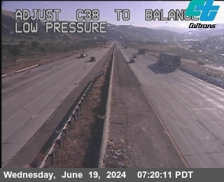 LIVE
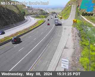 LIVE
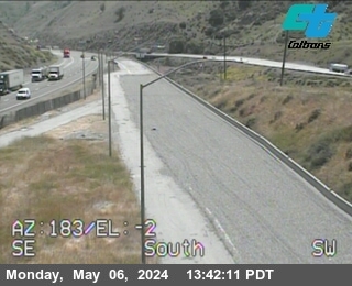 LIVE
The drive, segment by segment
1. Out of Los Angeles
Leave the city on I-5 north through the San Fernando Valley and Santa Clarita. Make the pass decision here, not on the grade: the Grapevine verdict, the camera strip, and the summit temperature against the city temperature are all on this page, and the last painless place to change plans is the SR-14 junction in Santa Clarita, where the detour route begins.
2. Castaic and the first climb
Past Castaic the freeway narrows its world to the climb. Pyramid Lake sits beside the road, the Templin Highway camera gives the first true grade frame, and the weather starts its split from the city behind you. In a storm this is where rain on the windshield starts thickening toward snow.
3. Smokey Bear to Gorman
The middle climb runs past Smokey Bear Road to Gorman, the last services before the summit. Watch the frames change: this stretch is where the corridor's altitude does its work, about 2,600 feet above the city. If chain control is posted, the checkpoint queue is at Gorman and the county line, and the verdict says so in Caltrans' own levels.
4. Tejon Pass, 4,144 feet
The summit is broad, windy, and camera free; the Gorman and Lebec frames bracket it. Storm wind hits hardest here and on the exposed ridge just north, and blowing snow can ice the surface in a storm that is only rain at both ends. This is the stretch the whole page exists to describe honestly.
5. The descent: Lebec to Grapevine
Northbound drops about 2,600 feet from Lebec to the valley floor, past the two truck escape ramps. Gears and brakes earn their keep here, and the escape ramp cameras tell the day's story at a glance. At the bottom, Grapevine's services mark the end of the mountain and, in winter, often the start of the tule fog.
6. The valley floor to Bakersfield
From the Route 99 split it is a short flat run into Bakersfield. The hazard flips here in winter: clear mountain, fog bound valley. The Bakersfield weather page linked from this site carries the valley picture, and on fog mornings it, not the pass, is the slow part of this drive.
Questions drivers ask
How long is the drive from Los Angeles to Bakersfield?
About 1 hour 45 minutes in free flow for the 113 miles. A Grapevine closure or a storm posting can double it or stop it entirely; the live verdict on this page is the current answer.
Where do I check if the Grapevine is closed before this drive?
Right here. The verdict reads Caltrans' closure and chain feeds live. A full closure in either direction shows as closed with the place and the reason, in the state's own record.
What if the Grapevine closes while I am driving?
You will be stopped at the closure point and turned around or held, typically at Castaic or the Route 99 side. The detour is SR-14 to Mojave and SR-58 west, which starts back at Santa Clarita, so an early check beats a late one every time.